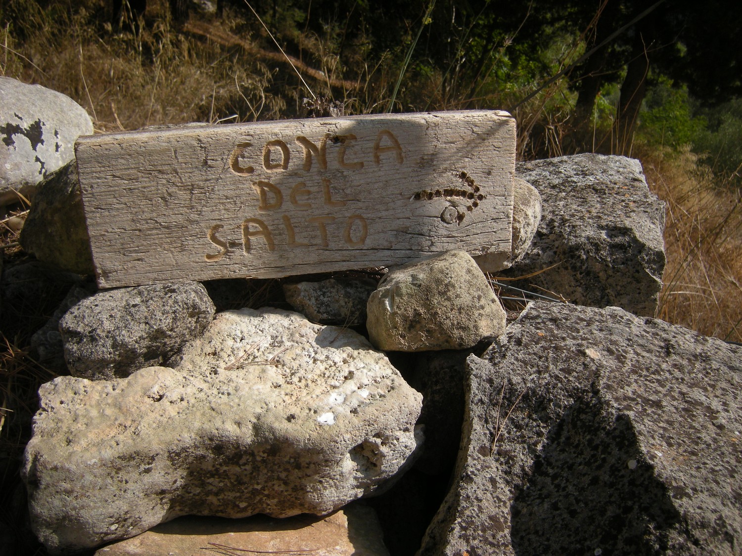
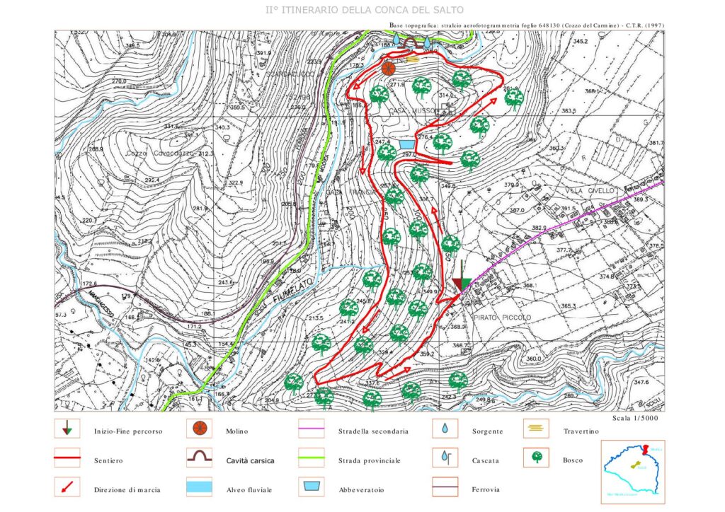
Itinerary of Conca del Salto
Hiking itinerary
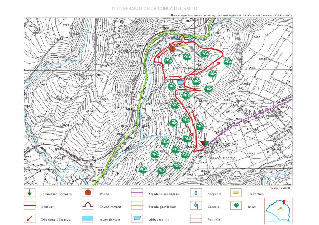
- Departure: Modica
- Trekking time: 3 h (including stops)
- Difficulty: medium-high, suitable for children and adults with trekking experiences and with minimal training
- Length: about 4.5 km
- Max altitude: 402 m; Minimum altitude: 218 m; Difference in altitude: 150 m
Possible variants: the described route offers the possibility of variants for mountain bikes which can increase the km and travel times. A few alternatives:
- departure from the entrance to the forest area along the itinerary of about 9 km by mountain bike up to the confluence with the Cava Maria to go up it on the left side up to the plateau of Contrada Spana, and again descend it along a path until you reach the road dirt road that climbs up the hillside on its right side up to the entrance to the forest area;
- departure from the entrance to the forest area along the itinerary of about 5 km by mountain bike, up to the dirt road that leads to the access to the forest area.
THE COURSE
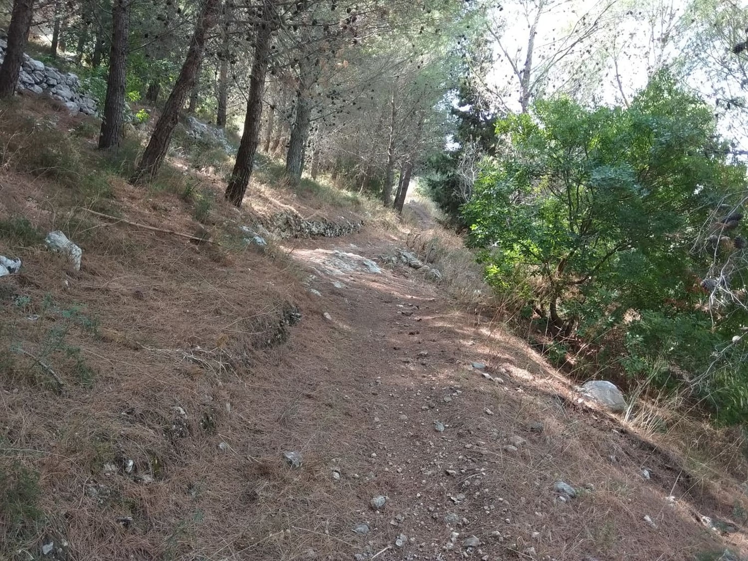
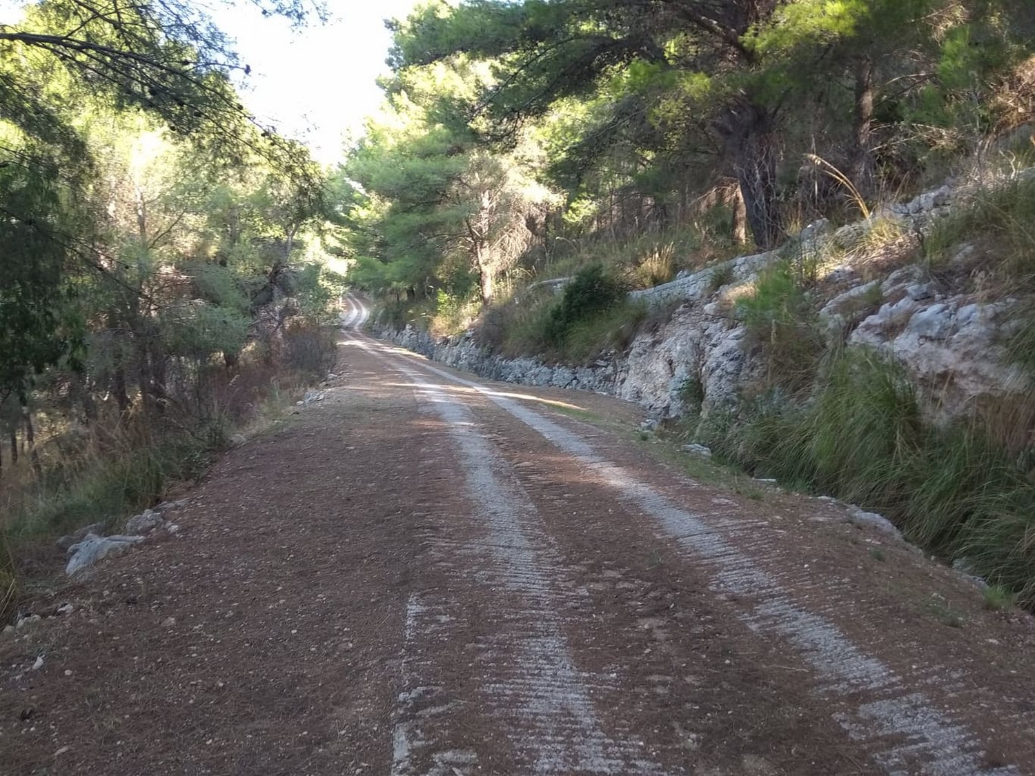
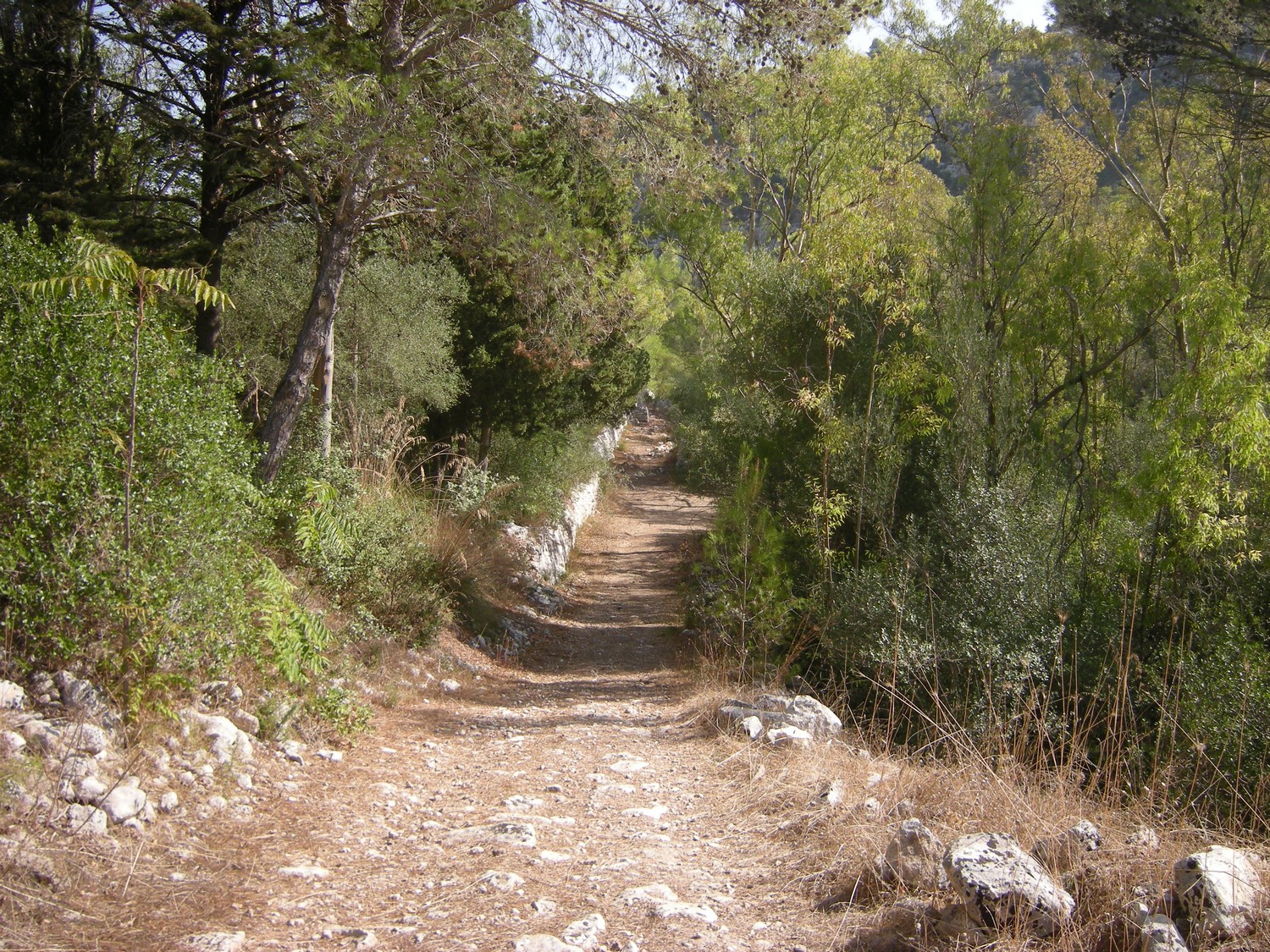
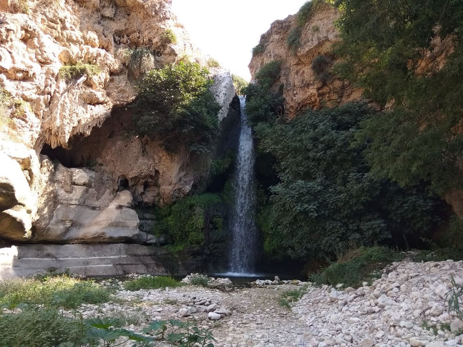
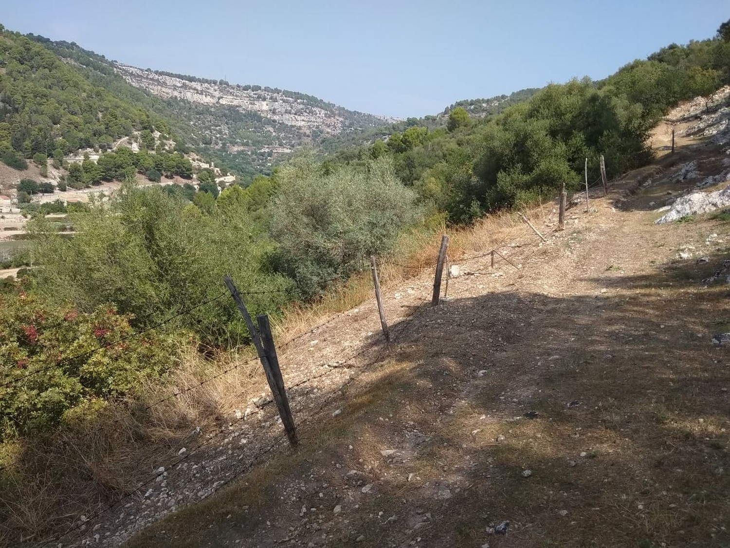
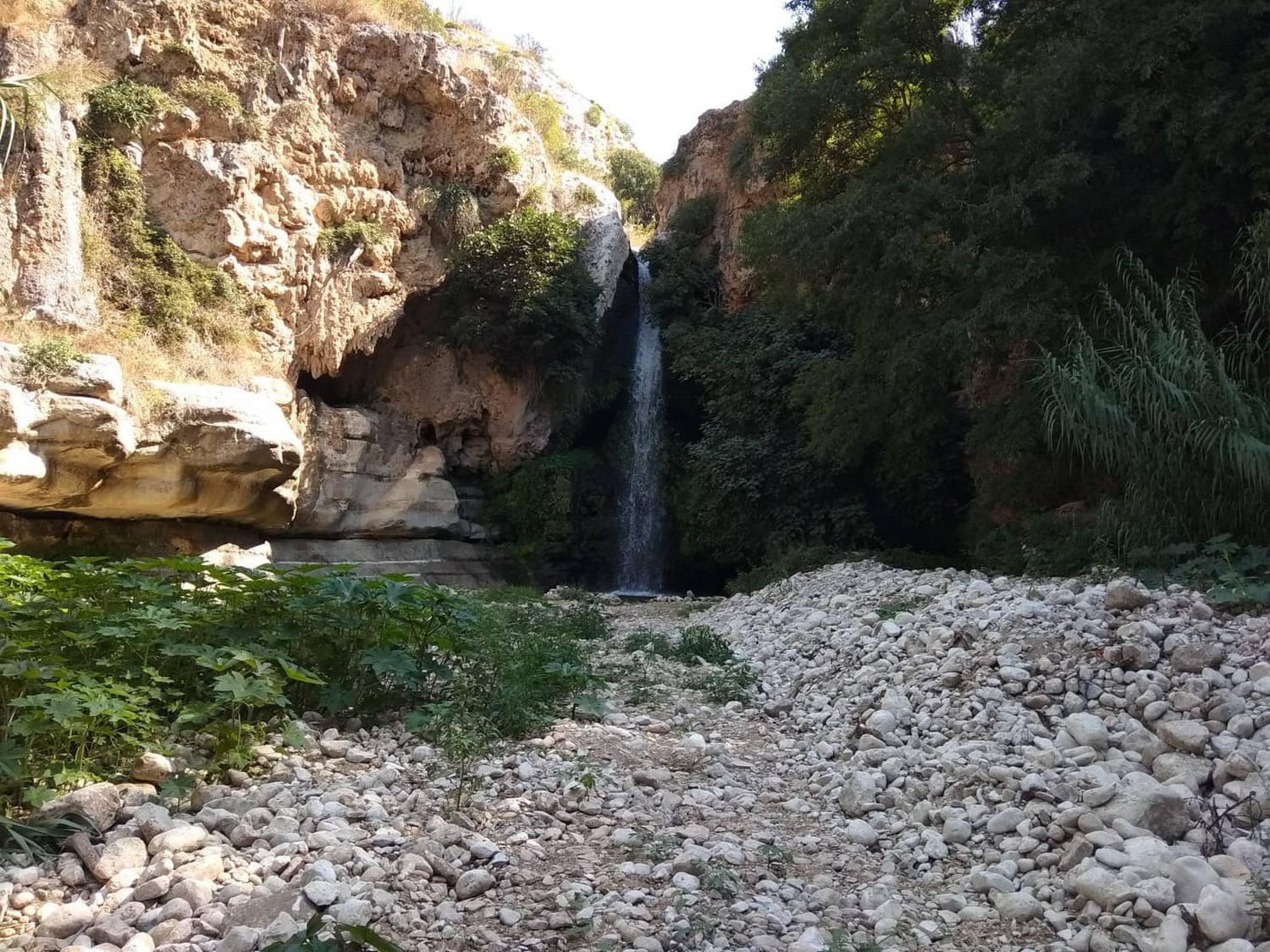
The route takes place in an important scenario of geomorphological and landscape interest: the SIC area “Conca del Salto”. The route winds along the left bank along the course of the Modica-Scicli or “Fiumara” stream. Characteristic of the site is the presence of the Mediterranean scrub, shrub rock formations and an artificial mixed forest crossed by a dirt road. Along the way you can see an ancient mill, springs, the “Salto delle Lepre” waterfall and the Grotta del Salto (important geosite), made up of at least six cavities, one of which is very large and articulated. Two different levels branch off from the entrance hall, the middle one consisting of several rooms with small waterfalls and a small lake, called the Crocodile, the upper one, where the suggestive cave called “Hall of Chandeliers” stands out, thanks to the presence of stalactites in clusters , normal and eccentric and from columnar concretions. The route then continues along the hillside, observing the valley on the right and the wood and the Mediterranean scrub on the left.
USEFUL INFORMATION AND CONTACTS
Equipment: Clothing suitable for the season: boots, jacket or windbreaker, hat, camera and binoculars.
LOGISTICS INFO OF THE ITINERARY:
- Nuccio Pisana cell.: +39 334.226 6249;
- Pietro Cavallo cell.: +39 366.132 1345
HOW TO GET:
The route develops in the territory of the Municipalities of Scicli and Modica. The starting point of the itinerary is easily reachable by taking the SP 42 from Scicli towards Modica for about 7.5 km up to the Pirato district, then turn left and take another stretch of about 650 m and turn left until you reach access to the forest area.

